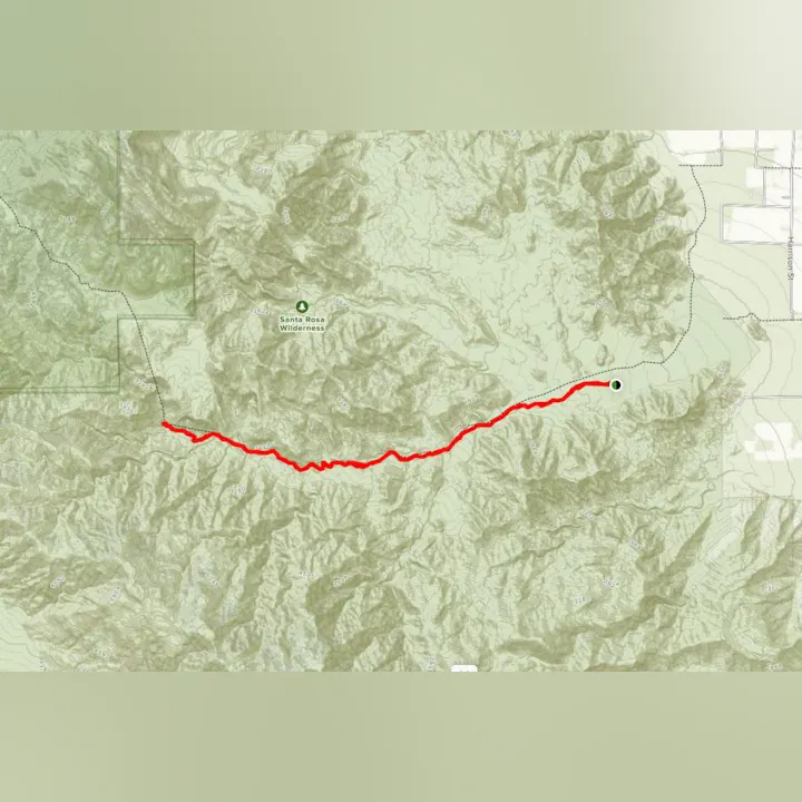
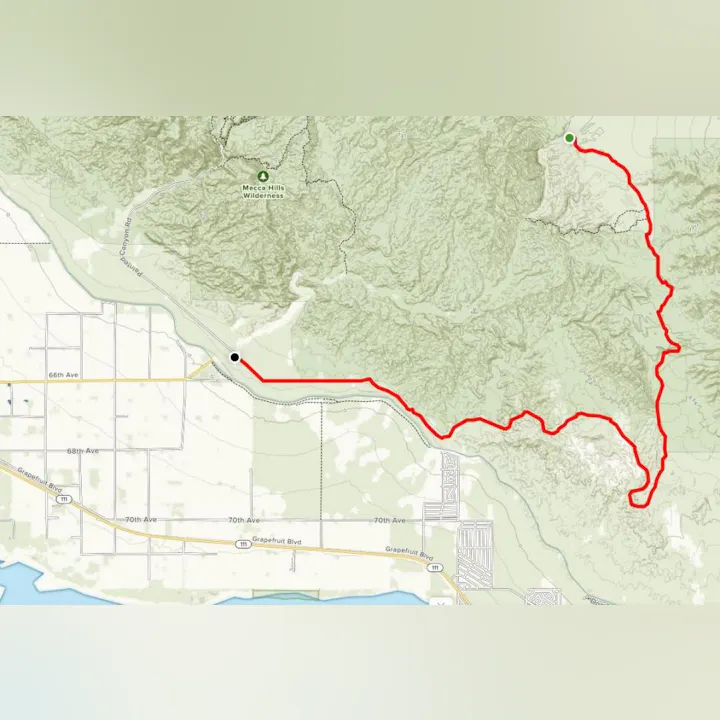
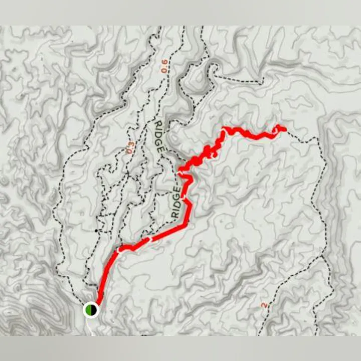
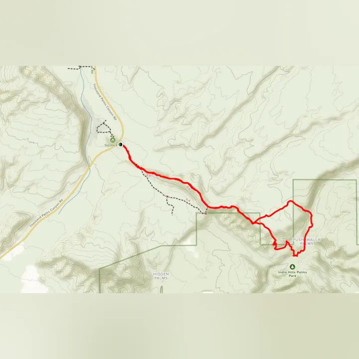
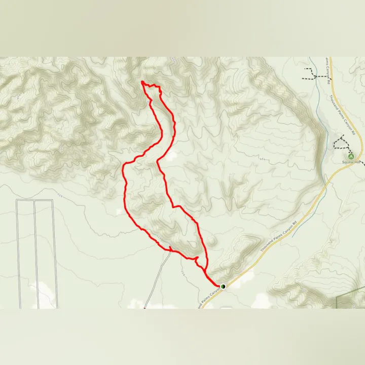
Trails

Overview

Trails

Trails

Our desert is surrounded by breathtaking mountains and plenty of terrain that is excellent for exercise and leisure. This list offers trail locations based on physical exertion from easy to moderate to hard. 

DISCLAIMER: Please use caution & safety when visiting trails. Carry water, nutrient-dense snacks, apply sunscreen, and stay on the trails. Always consult your physician before beginning any vigorous activity. Click here for a  Hiking Safety Guide from CAL FIRE, and this video also provides some safety tips for hikers.

Easy

Ed Hastey Trail, Palm Desert
Palm Desert

Photo of portion of Ed Hastey Trail

The easy yet enchanting Ed Hastey Loop at the Santa Rosa and San Jacinto Mountains National Monument is a mostly flat path, which is wheelchair-accessible and perfect for all ages (as well as hikers with pups), and begins at the national monument’s visitor center. Signs along the trail identify wildflowers and birds that might be seen. The visitor center offers more information including native wildlife, as well as the area’s indigenous history, through special exhibits and trail guides.

DISTANCE: 0.2 miles    ELEVATION GAIN: Less than 50′    ROUTE TYPE: Paved Loop

​CLICK HERE for more information on this trail.

  • Kid Friendly​
  • Bird Watching
  • Paved, Mostly Flat
  • Wheelchair, Stroller and other mobility aid accessible
  • Dog Friendly
  • Wildflowers
Easy

Painted Canyon Trail, Mecca
Mecca

Map of Painted Canyon Hiking Trail

Offering scenic views and good for all skills levels, Painted Canyon is a 4.2 mile trail located near Mecca.  It is primarily used for hiking, walking, nature trips, and bird watching, and is best used from September until April.

DISTANCE: 4.2 miles      ELEVATION GAIN: 767 feet      ROUTE TYPE: Out & Back

​CLICK HERE for more information on this trail.

  • Kid Friendly​
  • Hiking
  • Dog Friendly
  • Nature Trips
  • Walking
  • Bird Watching
  • Scenic Views
Easy

Roadrunner Trail, Rancho Mirage
Rancho Mirage

Image of map that  links to trail

Roadrunner Trail is an easy 3.8 mile trail located near Rancho Mirage that offers scenic views and is good for all skill levels. The trail is primarily used for hiking, walking, trail running, and road biking, and is accessible year-round.

DISTANCE: 3.8 miles     ELEVATION GAIN: 692 feet     ROUTE TYPE: Out & Back

CLICK HERE for more information on this trail.

  • Kid Friendly
  • Hiking
  • Road Biking
  • Walking
  • Running
  • Scenic Views
  • No Dogs
Easy

Squaw Hill Trail, Thousand Palms
Thousand Palms

Image of map that  links to trail

Squaw Hill is an easy 0.6 mile moderately trafficked loop trail located near Thousand Palms that features beautiful wildflowers and is good for all skill levels. The trail is primarily used for hiking and nature trips and is best used from October until May.

DISTANCE: 0.6 miles     ELEVATION GAIN: 72 feet     ROUTE TYPE: Loop

CLICK HERE for more information on this trail.

  • Kid Friendly
  • Hiking
  • Nature Trips
  • Walking
  • Scenic Views
  • Wildflowers
  • Wildlife
  • No Shade
  • No Dogs
Moderate

Bump and Grind, Palm Desert
Palm Desert

Image of map that  links to trail

This moderate trail is located near Palm Desert, and is a 4-mile moderate loop that is very popular with hikers and bicyclists. The Bump and Grind Trail features beautiful wildflowers and is best used from October through March.

DISTANCE: 4 miles      ELEVATION GAIN: 1,105 feet      ROUTE TYPE: Loop

CLICK HERE for more information on this trail.

  • Hiking
  • Mountain Biking
  • Nature Trips
  • Walking
  • Bird Watching
  • Running
  • Scenic Views
  • Wildflowers
  • Wildlife
  • No Shade
  • No Dogs
Moderate

Carrizo Canyon Trail, Palm Desert
Palm Desert

Image of map that  links to trail

Carrizo Canyon [CLOSED] is a moderate 2.7 mile lightly trafficked out and back trail located near Palm Desert that features a waterfall and is primarily used for hiking, walking, and trail running. Note: This trail is accessible October through March.

DISTANCE: 2.7 miles     ELEVATION GAIN: 413 feet     ROUTE TYPE: Out & Back

CLICK HERE for more information on this trail.

  • Hiking
  • Walking
  • Running
  • Scenic Views
  • Waterfall
  • Wildlife
  • Rocky
  • No Shade
  • No Dogs
Moderate

Chuckwalla Trail Loop, Rancho Mirage
Rancho Mirage

Image of map that  links to trail

Chuckwalla Trail Loop is a moderate 2.1 mile lightly trafficked loop trail located near Rancho Mirage that offers scenic views. It is primarily used for hiking, walking, and trail running, and is accessible year-round.

DISTANCE: 2.1 miles     ELEVATION GAIN: 403 feet     ROUTE TYPE: Loop

CLICK HERE for more information on this trail.

  • Hiking
  • Running
  • Scenic Views
  • Scramble
  • No Dogs
Moderate

Dead Indian Canyon Trail, Palm Desert
Palm Desert

Image of map that  links to trail

Dead Indian Canyon is a moderate 2.3 mile lightly trafficked out and back trail located near Palm Desert that offers the chance to see wildlife and is primarily used for hiking, running, and nature trips.

DISTANCE: 2.3 miles     ELEVATION GAIN: 288 feet     ROUTE TYPE: Out & Back

CLICK HERE for more information on this trail.

  • Hiking
  • Nature Trips
  • Running
  • Scenic Views
  • Wildlife
  • Rocky
  • No Shade
  • No Dogs
Moderate

Gabby Hayes Trail, Palm Desert
Palm Desert

Image of map that  links to trail

Gabby Hayes Trail is a moderate 1.9 mile lightly trafficked loop trail located near Palm Desert. This scenic view trail is primarily used for hiking, walking, and trail running, and is accessible year-round.

DISTANCE: 1.9 Miles     ELEVATION GAIN: 347 feet     ROUTE TYPE: Loop

CLICK HERE for more information on this trail.

  • Kid Friendly
  • Hiking
  • Walking
  • Running
  • Scenic Views
  • Rocky
  • No Shade
  • No Dogs
Moderate

Herman’s Hike Trail, Thousand Palms
Thousand Palms

Image of map that  links to trail

Herman’s Hike Trail is a moderate 6.6 mile (out and back) trail located near Thousand Palms that is primarily used for hiking, walking, nature trips, and bird watching, and is accessible year-round.

DISTANCE: 6.6 miles     ELEVATION GAIN: 1,423 feet     ROUTE TYPE: Out & Back

CLICK HERE for more information on this trail.

  • Hiking
  • Nature Trips
  • Walking
  • Bird Watching
  • Scenic Views
  • Wildflowers
  • Wildlife
  • Rocky
  • Scramble
  • No Shade
  • No Dogs
Moderate

Hidden Palms Loop, Thousand Palms
Thousand Palms

Image of map that  links to trail

Hidden Palms Loop is a moderate 1.9 mile heavily-used loop trail located near Thousand Palms that features beautiful wildflowers.  It is primarily used for hiking, walking, nature trips, and bird watching, and is best used from October until May.

DISTANCE: 1.9 miles     ELEVATION GAIN: 259 feet     ROUTE TYPE: Loop

CLICK HERE for more information on this trail.

  • Hiking
  • Nature Trips
  • Walking
  • Bird Watching
  • Scenic Views
  • Wildflowers
  • Wildlife
  • Rocky
  • No Shade
  • No Dogs
Moderate

Hopalong Cassidy Trail, Palm Desert
Palm Desert

Image of map that  links to trail

Hopalong Cassidy Trail is a 7.4 mile heavily-trafficked loop trail located near Palm Desert that features beautiful wildflowers and is rated as moderate. The trail offers a number of activity options and is accessible year-round

DISTANCE: 7.4 mile     ELEVATION GAIN: 1,725 feet     ROUTE TYPE: Loop

CLICK HERE for more information on this trail.

  • Hiking
  • Mountain Biking
  • Nature Trips
  • Bird Watching
  • Running
  • Scenic Views
  • Wildflowers
  • Wildlife
  • Rocky
  • Scramble
  • No Dogs
Moderate

Indian Palms Trail, Thousand Palms
Thousand Palms

Image of map that  links to trail

Indian Palms Trail is a 1.2 mile moderate trail located near Thousand Palms that is primarily used for hiking, walking, and nature trips, and is best used from October until May.

DISTANCE: 1.2 miles     ELEVATION GAIN: 111 feet     ROUTE TYPE: Out & Back

CLICK HERE for more information on this trail.

  • Kid Friendly
  • Hiking
  • Nature Trips
  • Walking
  • Scenic Views
  • Wildflowers
  • Wildlife
  • No Shade
  • No Dogs
Moderate

Jack Rabbit Trail, Rancho Mirage
Rancho Mirage

Image of map that  links to trail

Jack Rabbit Trail is a moderate 1.4 mile lightly-trafficked trail located near Rancho Mirage that features beautiful wildflowers and offers a number of activity options accessible year-round.

DISTANCE: 1.4 miles     ELEVATION GAIN: 190 feet     ROUTE TYPE: Out & Back

CLICK HERE for more information on this trail.

  • Kid Friendly
  • Hiking
  • Nature Trips
  • Walking
  • Bird Watching
  • Running
  • Forest
  • Scenic Views
  • Wildflowers
  • Wildlife
  • Rocky
  • No Dogs
Moderate

La Quinta Cove to Lake Cahuilla Trail, La Quinta
La Quinta

Image of map that  links to trail

La Quinta Cove to Lake Cahuilla is a moderate 6.6 mile trail located near La Quinta and is accessible year-round.  It features beautiful wildflowers and goes through the golf course.

DISTANCE: 6.6 miles     ELEVATION GAIN: 915 feet     ROUTE TYPE: Out & Back

CLICK HERE for more information on this trail.

  • Hiking
  • Mountain Biking
  • Nature Trips
  • Walking
  • Bird Watching
  • Running
  • Scenic Views
  • Wildflowers
  • Wildlife
  • No Dogs
Moderate

Magnesia Springs Canyon Trail, Rancho Mirage
Rancho Mirage

Image of map that  links to trail

Magnesia Springs Canyon is a moderate 3.7 mile lightly trafficked trail located near Rancho Mirage that offers the chance to see wildlife and is primarily used for hiking and trail running, and is best used from October until December.

DISTANCE: 3.7 miles     ELEVATION GAIN: 449 feet     ROUTE TYPE: Out & Back

CLICK HERE for more information on this trail.

  • Hiking
  • Running
  • Scenic Views
  • Wildlife
  • Rocky
  • No Dogs
Moderate

Martinez Canyon Trail, Mecca
Mecca

Image of map that  links to trail

Martinez Canyon Trail is a moderate 14.4 mile out-and-back trail located near Mecca that offers scenic views and is primarily used for hiking, horses, and backpacking. 

DISTANCE: 14.4 miles    ELEVATION GAIN: 2080 feet    ROUTE TYPE: Out & Back

CLICK HERE for more information on this trail.

  • Backpacking
  • Hiking
  • Horseback Riding
  • Scenic Views
Moderate

Mike Schuler Trail, Palm Desert
Palm Desert

Image of map that  links to trail

The year-round Mike Schuler Trail is a moderate 1.6 mile heavily used trail located near Palm Desert that offers scenic views and is primarily used for hiking and walking.

DISTANCE: 1.6 miles     ELEVATION GAIN: 272 feet     ROUTE TYPE: Out & Back

CLICK HERE for more information on this trail.

  • Hiking
  • Walking
  • Scenic Views
  • No Dogs
Moderate

Moon Country Trail, Thousand Palms
Thousand Palms

Image of map that  links to trail

Moon Country Loop via McCallum Trail is a 4.1 mile heavily-trafficked loop trail located near Thousand Palms that features beautiful wildflowers and is rated as moderate. The trail is primarily used for hiking and is best used from October until May.

DISTANCE: 4.1 miles     ELEVATION GAIN: 311 feet     ROUTE TYPE: Loop

CLICK HERE for more information on this trail.

  • Kid Friendly
  • Hiking
  • Scenic Views
  • Wildflowers
  • Wildlife
  • Rocky
  • No Shade
  • No Dogs
Moderate

Pushwalla Palms Loop, Thousand Palms
Thousand Palms

Image of map that  links to trail

Pushawalla Palms Loop is a moderate 4.4 mile loop trail located near Thousand Palms featuring beautiful wildflowers and is primarily used for hiking, walking, running and nature trips, and is best used from September until April.

DISTANCE: 4.4 miles     ELEVATION GAIN: 705 feet     ROUTE TYPE: Loop

CLICK HERE for more information on this trail.

  • Hiking
  • Nature Trips
  • Walking
  • Running
  • Scenic Views
  • Wildflowers
  • Wildlife
  • No Shade
  • No Dogs
Moderate

Randall Henderson Loop Trail, Rancho Mirage
Rancho Mirage

Image of map that  links to trail

The 2.7 mile Randall Henderson Loop Trail is located near Palm Desert and is primarily used for hiking, trail running, and mountain biking and is best used from October until March. It also offers the chance to see wildlife.

DISTANCE: 2.7 miles     ELEVATION GAIN: 426 feet     ROUTE TYPE: Loop

CLICK HERE for more information on this trail.

  • Kid Friendly 
  • Hiking
  • Mountain Biking
  • Running
  • Scenic Views
  • Wildlife
  • No Dogs
Moderate

Willis Palms Loop, Thousand Palms
Thousand Palms

Image of map that  links to trail

The Willis Palm Loop is a moderate 4.1 mile trail located near Thousand Palms that features beautiful wildflowers and is primarily used for hiking, walking, nature trips, and bird watching, and is accessible year-round.

DISTANCE: 4.1 miles     ELEVATION GAIN: 531 feet     ROUTE TYPE: Loop

CLICK HERE for more information on this trail.

  • Hiking
  • Nature Trips
  • Walking
  • Bird Watching
  • Scenic Views
  • Wildflowers
  • Rocky
  • No Shade
  • No Dogs
Hard

Art Smith Trail, Palm Desert
Palm Desert

Image of map that  links to trail

Art Smith Trail is a difficult 12.2 mile heavily trafficked trail located near Palm Desert, California that features beautiful wild flowers and is best used from September until May.

DISTANCE: 12.2 miles  ELEVATION GAIN: 2,641 feet  ROUTE TYPE: Out & Back

CLICK HERE for more information on this trail.

  • Hiking
  • Nature Trips
  • Bird Watching
  • Running
  • Forest
  • Scenic Views
  • Wildflowers
  • Wildlife
  • No Dogs
Hard

Bear Creek Canyon Trail, La Quinta
La Quinta

Image of map that  links to trail

Bear Creek Canyon Trail is rated as a hard 8.3 mile out-and-back trail located near La Quinta, featuring beautiful wildflowers and is accessible year-round.

DISTANCE: 8.3 miles     ELEVATION GAIN: 2,319 feet     ROUTE TYPE: Out & Back

CLICK HERE for more information on this trail.

  • Hiking
  • Mountain Biking
  • Nature Trips
  • Bird Watching
  • Running
  • Forest
  • Scenic Views
  • Wildflowers
  • Wildlife
  • No Dogs
Hard

Boo Hoff Trail
La Quinta

Image of map that  links to trail

Boo Hoff Trail is a 12.8 mile heavily-trafficked loop trail located near La Quinta that features beautiful wildflowers and is rated as difficult. The trail offers a number of activity options and is best used from September until May.

DISTANCE: 12.8 miles ELEVATION GAIN: 2290 feet ROUTE TYPE: Loop

CLICK HERE for more information on this trail.

  • Hiking
  • Nature Trips
  • Bird Watching
  • Running
  • Scenic Views
  • Wildflowers
  • Wildlife
  • No Dogs
OHV

Meccacopia OHV Trail, Mecca
Mecca

Image of map that  links to trail

Meccacopia OHV Trail is a moderate 15.3 mile lightly trafficked point-to-point trail located near Mecca. The Off-Highway Vehicle trail is great for off-road driving, mountain biking, and more. Best used from October until May.

DISTANCE: 15.3 miles     ELEVATION GAIN: 741 feet     ROUTE TYPE: Point to Point

CLICK HERE for more information on this trail.

  • Mountain Biking
  • Nature Trips
  • OHV / Off-Road Driving
  • Scenic Views
  • Rocky
  • Washed Out
  • No Dogs